Digital Archaeology
The use of computational recording and analysis in archaeological workflows — from databases to 3D and spatial models.
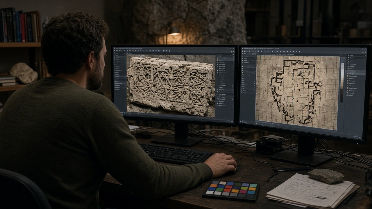
Digital heritage is infrastructure for memory. Cards below are interactive-looking entry points to methods, not live classified systems.
The use of computational recording and analysis in archaeological workflows — from databases to 3D and spatial models.
Layered spatial data with documented coordinate systems and metadata.
Imagery as a survey aid, always checked on the ground when claims are made.
Overlapping photographs processed into measurable models. Scale bars and colour charts are mandatory in teaching.
Models for research, conservation monitoring and education. File formats and archive packages are specified.
Clearly labelled hypotheses, never presented as photographs of the past.
Fixity, metadata, migration plans and access rules.
Public maps that do not reveal vulnerable site coordinates.
Only where law and permission allow. Not demonstrated as an active IIACH flight programme.
Explained as a method. No restricted datasets hosted.
Assistance in transcription or image sorting, with human review. No claim of autonomous discovery.
Bit-level preservation plus meaningful metadata.
Publish what ethics and law allow. Do not scrape or republish closed government inventories.